facebook
info@valledellaterno.it
  • HOME
  • NEWS
  • TERRITORY
    • VILLAGES
    • TOWERS AND CASTLES
    • PAGLIARE
    • MAPS AND HISTORICAL TRAILS
    • NATURE
    • ARCHAEOLOGICAL SITES
  • PACKAGES
    • ARCHEOLOGY
    • BIKING
    • HORSETREKKING
    • TREKKING
    • COOKING
  • HOSPITALITY
    • ACCOMMODATIONS
    • RESTAURANTS
  • ABOUT US
  • CONTACT US

MAPS AND HISTORICAL TRAILS

Cartelli-segnaletici-aterno

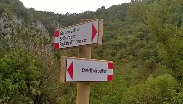
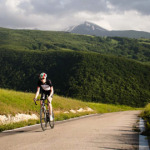
More than 100km of usable, marked and geo-referenced paths pass through the Aterno Valley, giving you beautiful scenarios of a pristine landscape.

Paths can be travelled (walking or cycling) by yourself or with skilled guides who will show you the particularities of the landscape.

DOWNLOAD THE MAP DOWNLOAD GPX AND KML FILES
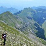
For walking trips with skilled guides see the website www.abruzzomountainswild.com

Maps and Historical Trails

  • SAN PIO – BOMINACO
  • FONTECCHIO – PAGLIARE
  • ROCCAPRETURO – SANT’ERASMO
  • PATH ALONG THE ATERNO
  • CIRCUIT: SECINARO – CHALET – TEMPRA LAKE – SECINARO
  • CHURCH OF THE SANTISSIMA TRINITÁ – ROCCA DI MEZZO
  • RECOMMENDED CIRCULAR TRAILS

Le Ultime Proposte

Life in the Foothills of the Gran Sasso

8 Days/7 Nights

Racing Bike, the Abruzzo Route

3 Days/2 Nights

Village of Fontecchio and Excavation of Amiternum

7 Days/6 Nights

CONTRIBUTI

FAS 2007 2013
Abruzzo Turismo
Regione Abruzzo

Realizzato con il contributo dei Fondi PAR FSC (exFAS) Abruzzo 2007-2013 - Obiettivo 1.3 Linea di Azione 1.3.1.b - www.abruzzoturismo.it

Languages

  • it  Italiano
  • en  English